5 Must-Do Sedona Hikes to Add To Your Bucket List
Known for its vortexes and red rocks, Sedona is a hiking town 2 hours north of Phoenix worth visiting. It’s a place full of beautiful hikes, spirit, and color. When I lived in Arizona for a month, I visited Sedona rather frequently.
Disclaimer: This post contains affiliate links, which means if a purchase is made from these links, we may earn a small commission at no additional cost to you.
When hiking, please remember to respect and preserve nature by following the Leave No Trace principles. Leave only footprints and take only pictures.
Not sure what to pack on your day hikes? Some essentials that I always bring with me include a large water bottle, a first aid kit, and headlamps (for hiking around sunrise or sunset). I used this hiking bag during my month in Arizona and found that it worked very well.
Here are 5 Must-Do Hikes in Sedona
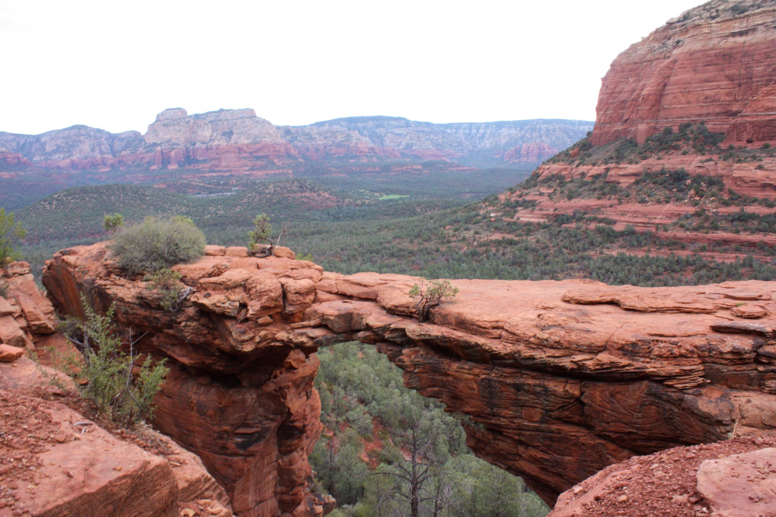
Devil’s Bridge
Rate: Moderate | 4.2 miles* | 3 hours | Elevation Gain: 400-500 ft | Start: Mescal Trailhead*
This is the most iconic hike in Sedona. You’ve probably seen pictures of it when looking up Sedona. As you can imagine, this hike can get very crowded, especially on weekends. That’s why I recommend starting early! My friend and I started at 5 AM (mainly to beat the August heat) and it took us about 3 hours to finish the trail, including enjoying the view at the top.
*Important notes: There are 3 different places you can start to begin your hike to Devil’s Bridge: 1) Mescal Trailhead, 2) Dry Creek Parking Lot or 3) Devil’s Bridge Trailhead. You can only start at Devil’s Bridge Trailhead if you have a 4×4. This would cut down your hike to 2 miles roundtrip. I recommend starting at Mescal Trailhead if you want to see some scenery. Dry Creek is a bit easier on the knees in the beginning since you are essentially walking on a long dirt road.
The trail was relatively flat until the end of the hike, where there were some steep rocks you have to climb up. It’s definitely doable, even for those who are novice hikers or older age. The bridge is not as narrow as it appears in the photos and I felt like I had plenty of room on both sides. Luckily, everyone was really friendly and respectful and offered to take pictures for us.
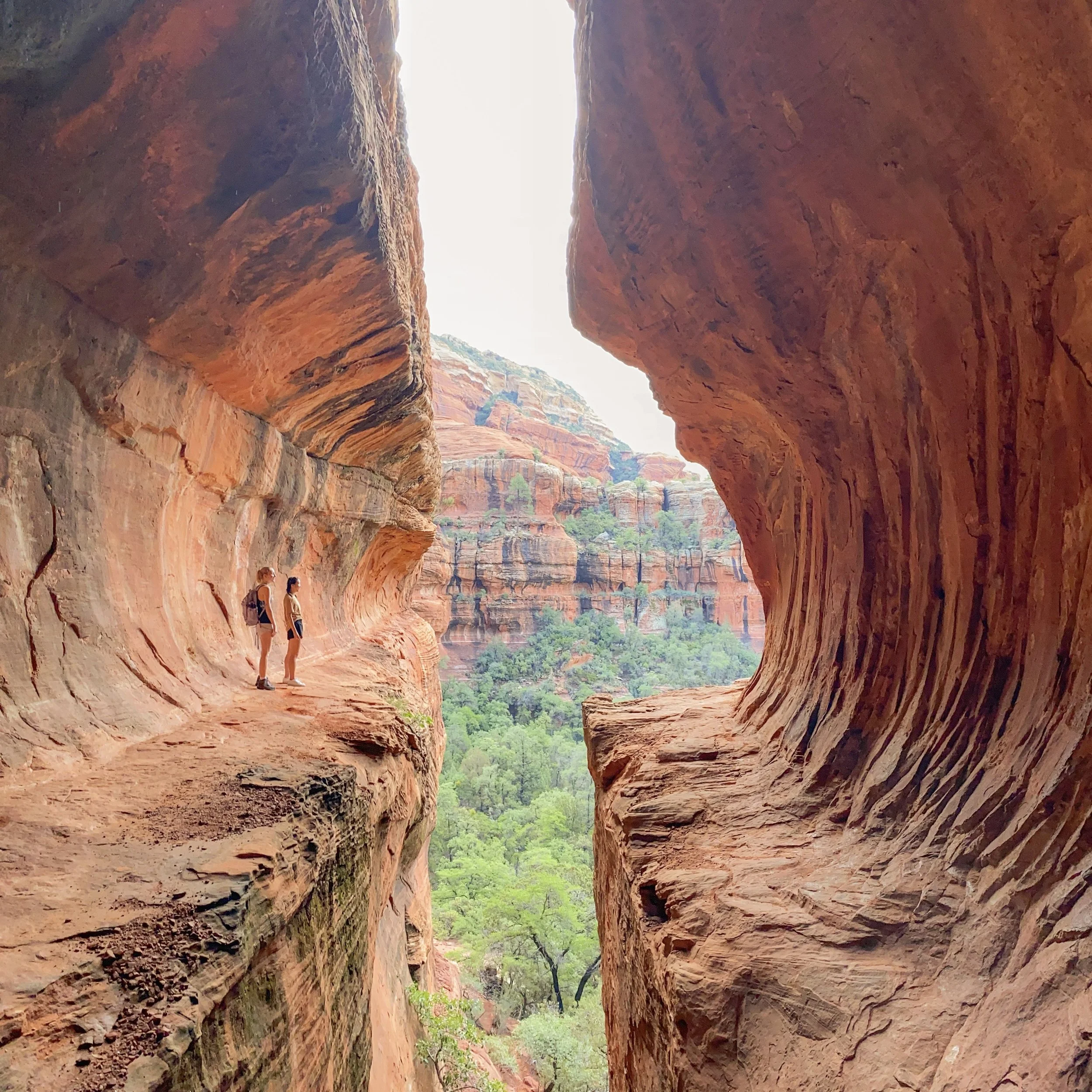
2. Subway Cave / Boynton Canyon Trail
Rate: Hard | 5 miles to Subway Cave | 4 hours | Elevation Gain: 800 ft | Start: Boynton Canyon Trailhead
Subway Cave is located off the Boynton Canyon trail (about 2 miles in) and has gained popularity in recent years. Start your hike early and park at the Boynton Canyon trailhead. I thought this hike was hard because there were no marked trails to the cave, so it was difficult to find. Also, to get to the cave, you have to climb up a steep, slanted rock slab. Make sure you bring hiking shoes with good traction! I still thought the views from the cave were worth the adventure.
I found it very helpful to download an offline Google map and pin the exact location of the cave. When you get to the cave, there are two ways to climb up– one way is to climb up and walk on the ledge that wraps to the entrance and another way is to climb up the steep, slanted rock slab. I highly suggest doing the rock slab! The other way is much more dangerous.
3. Birthing Cave
Rate: Easy-Moderate | 2 miles rt | 2 hours | Elevation Gain: 250 ft | Start: Long Canyon Trailhead
The hike to the Birthing Cave is relatively easy. About 0.6 miles into the Long Canyon trail, you’ll see a split in the trails. Take the trail on the left to continue to the Birthing Cave. Once you get to the cave, the difficulty becomes more moderate. The walls of the cave are very slippery and it’s important to be careful if you decide to climb higher into the cave.
4. Airport Vortex
Rate: Easy | 0.1 miles rt | < 30 min | Elevation Gain: 200 ft | Start: Airport Road Parking Lot
Sedona is famous for its vortexes. But, what are vortexes?
Sedona vortexes (the proper grammatical form ‘vortices’ is rarely used) are thought to be swirling centers of energy that are conducive to healing, meditation, and self-exploration. These are places where the earth seems especially alive with energy.
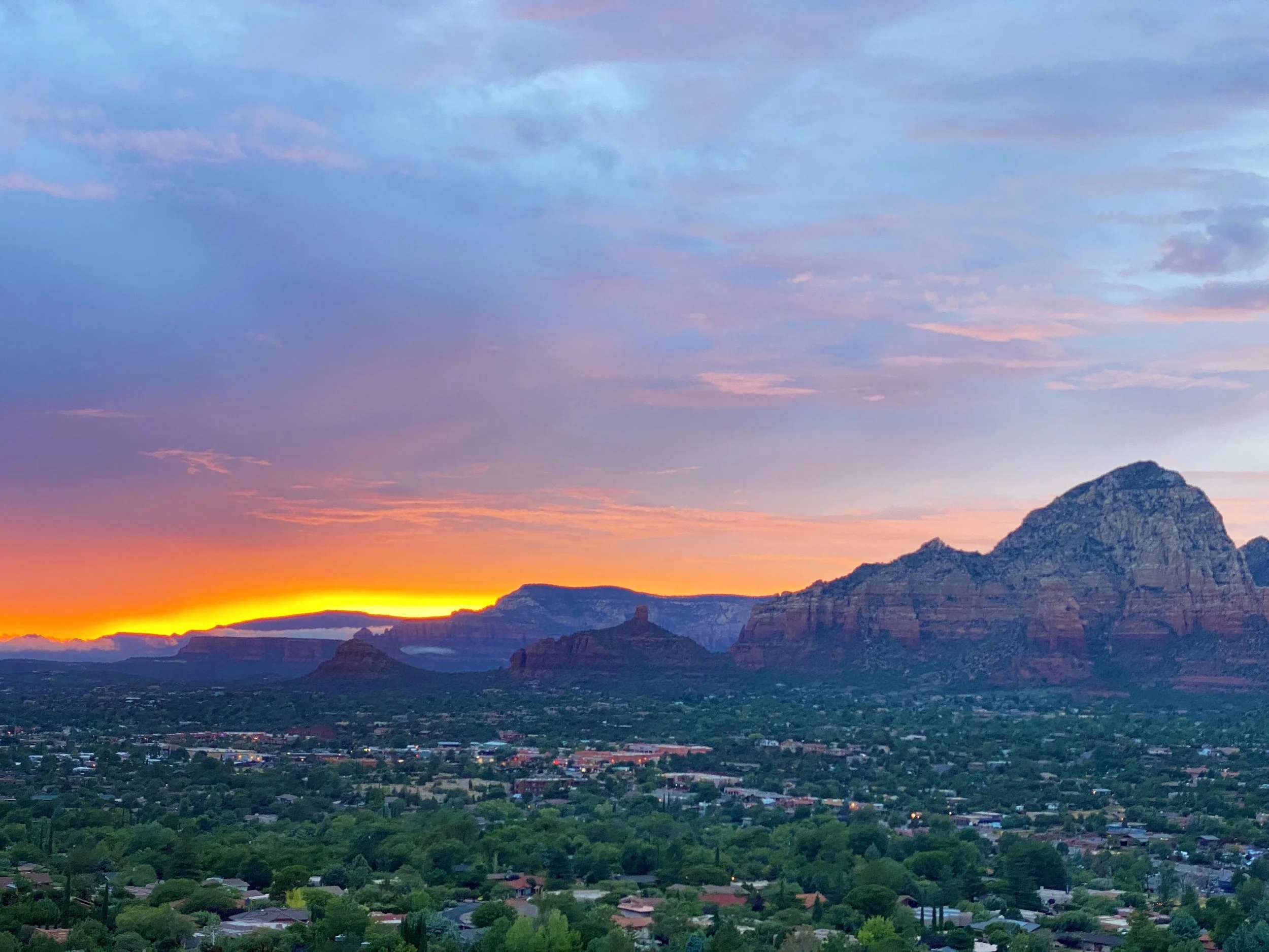
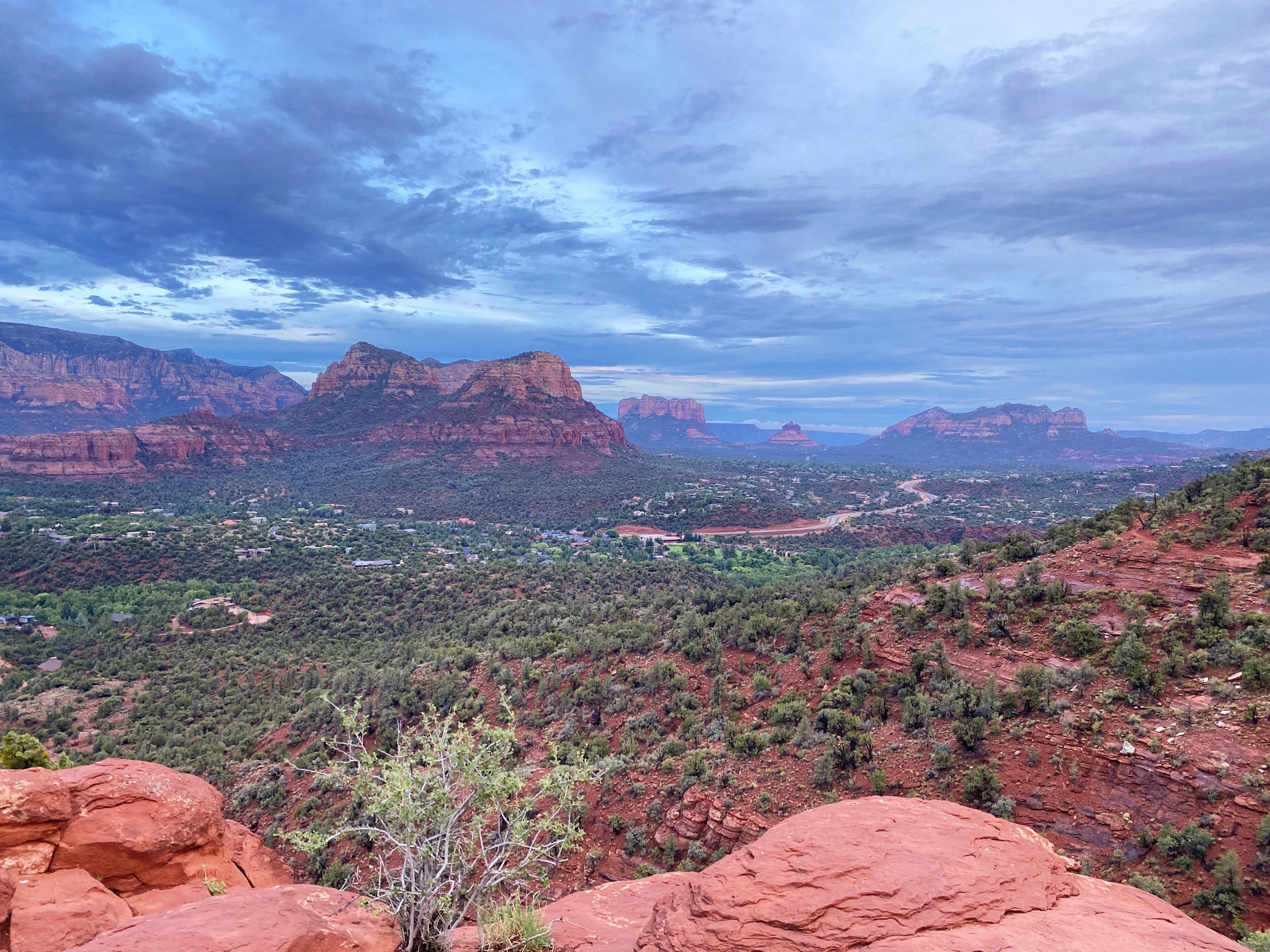
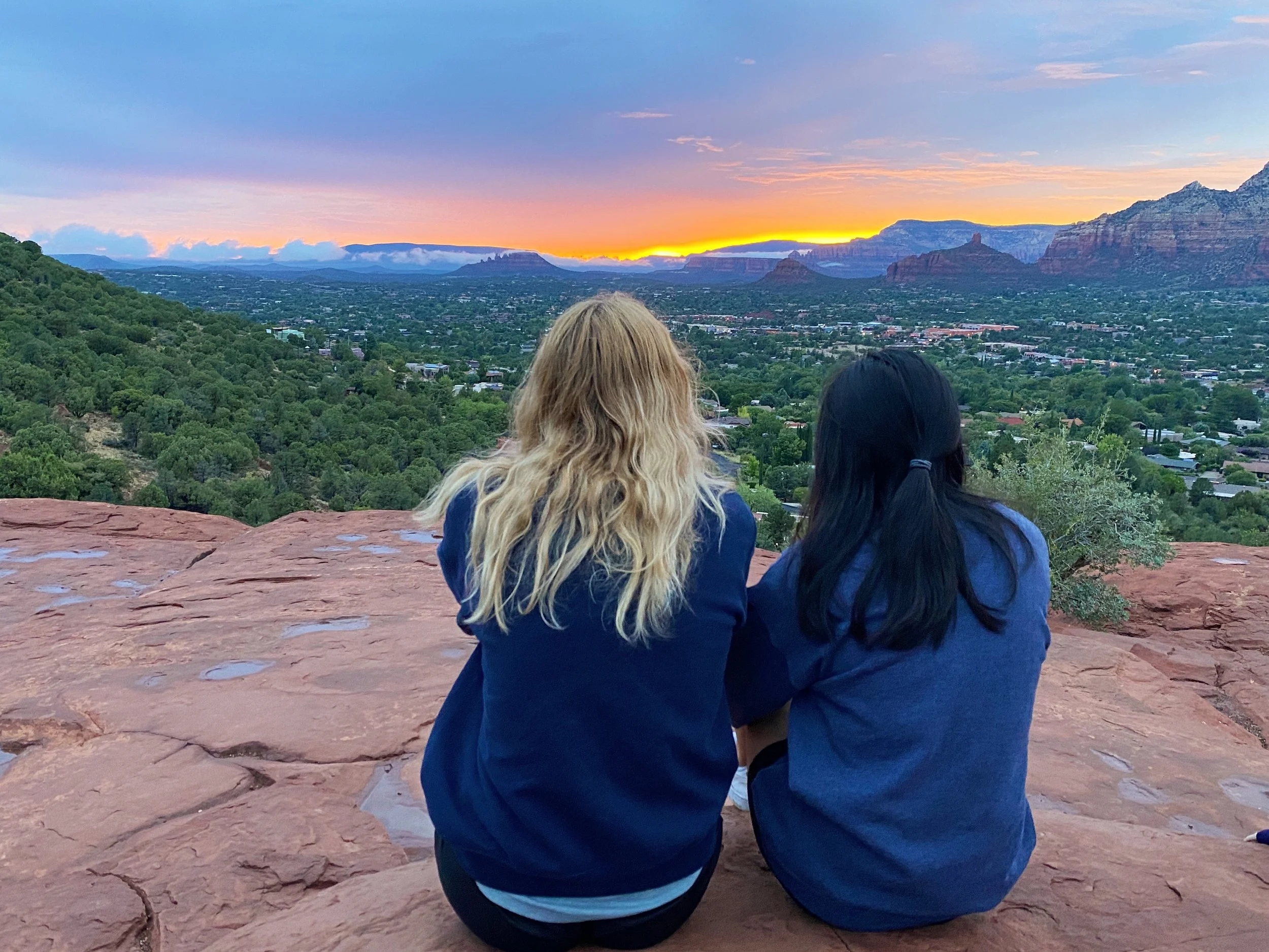
There are three ways to get to the Airport Vortex — two of them are more of a hike including Sedona View Trail which is 1.2 miles rt and Airport Loop Trail which is 3.2 miles rt. This post highlights the easiest way to get to the vortex, which is more of a lookout than a hike. After parking in the small lot off Airport Road, take the Airport Mesa Trail. There will be a small incline with handrails that lead to the view. I highly suggest visiting the Airport Vortex for sunset, as it has great views of the west.
5. Fay Canyon
Rate: Easy | 2.5 miles rt | 1-2 hours | Elevation Gain: 250 ft | Start: Fay Canyon Trailhead
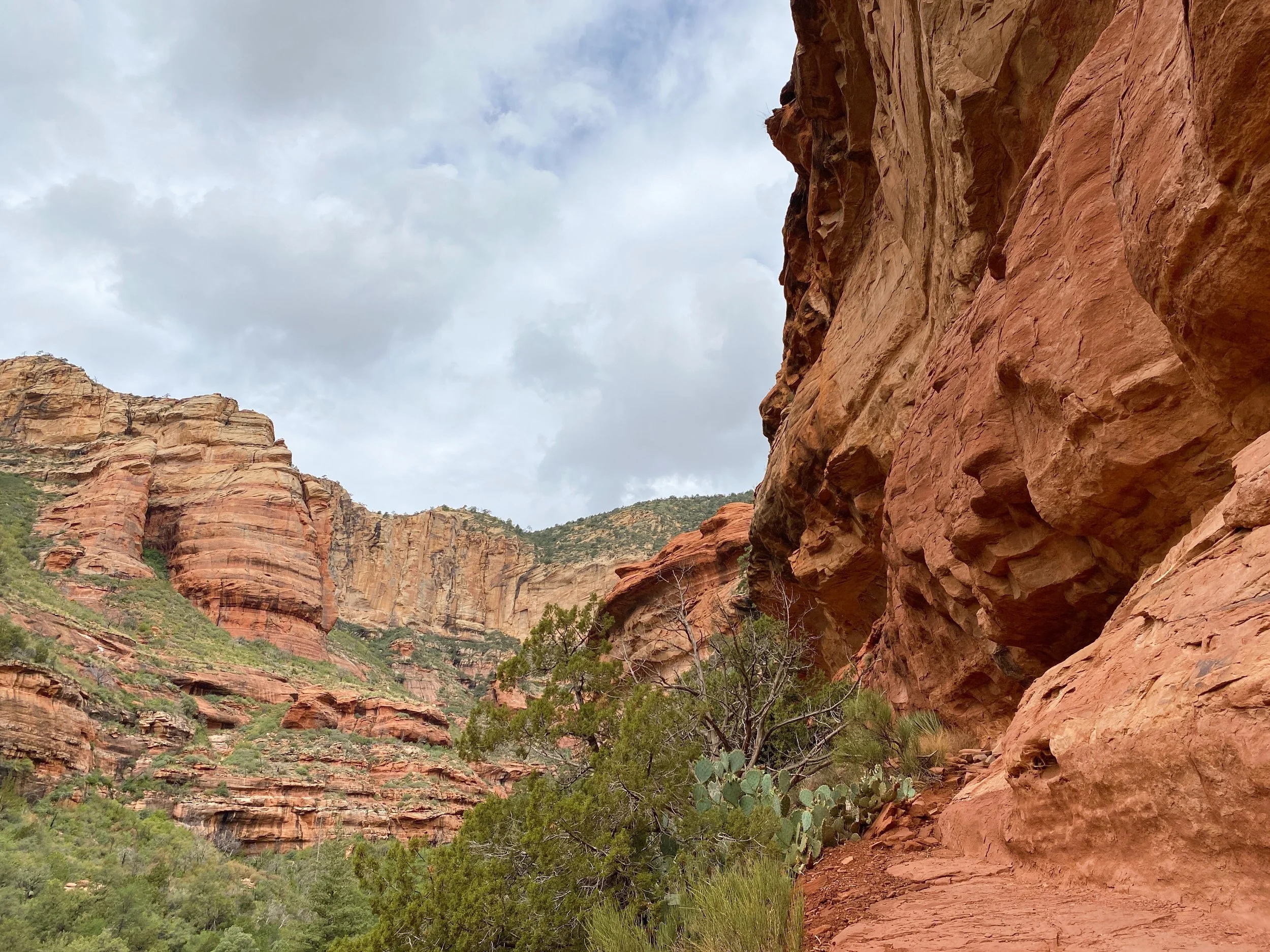
The hike to Fay Canyon is relatively easy and the views are beautiful. You will be rewarded with panoramic views of the canyon surrounded by lots of vegetation. Some of the side trails are a bit treacherous so be careful. We tried to find the Fay Canyon Arch that was described by previous hikers but were unsuccessful and felt unsafe walking further on the side trails.
We passed a few families, so the hike is family or kid-friendly. Since the canyon walls are tall and there are many trees, there is plenty of shade if you need to take a break from the sun.
